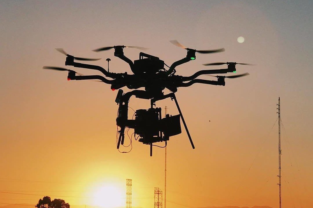
Drone Photography; Brooklyn New York
Drones’ sudden popularity has altered many industries, including photography, shipping, security, and mapping. Although drone surveying is still relatively new, most land survey experts are increasingly adopting it. True, not all land survey firms have adopted the use of drones for their work. Most will likely move in this way as time goes on and technology advances, allowing for the production of even more powerful drones. Learn the ins and outs of drone surveying right here!
It is acceptable that some questions remain unanswered by the legislation regarding the sale of drones to citizens, given that this is a relatively new notion. As a result, before purchasing a drone, any prospective buyer should investigate whether or not their intended usage is sanctioned by law. In that case, can surveying using a drone be done legally?
Yes! Drones can be used legally for land surveys. In order to legally operate a drone for profit, you must first obtain an FAA pilot’s license and then obtain appropriate insurance coverage. The FAA has also established guidelines that must be followed. This list is long and full of legalese, but here’s the gist of it:
- The drone pilot must always keep the drone within their visual line of sight
- The drones must be flown at a height lower than 400 feet
- You need a special waiver to fly the drone after dark
- The drone pilots must be certified to fly by the FAA
- The drone pilots must pass background checks
Furthermore, each government has its own set of regulations and guidelines that must be met before you may use your drone to do land surveys in compliance and safety. When you do get around to using your drone for land surveying, however, you’ll see exactly how useful it is once you’ve cleared the legal hurdles.
- Surveying by its very nature entails traveling across large areas of land, therefore this is a much safer alternative. Any of them, including the ones that aren’t flat or simple to walk across. However rough the terrain may be, surveyors must nonetheless travel there. They need to figure out how to get their work done anyway. This puts them in grave danger, oftentimes. It’s not a good idea to risk your life by venturing out on a survey in potentially hazardous environments like mountains, hills, marshes, steep valleys, or even very hot areas. However, with the use of drones, the traditional ‘boots on the ground component of land surveying is becoming increasingly unnecessary. Licensed drone pilots can use their aircraft to capture high-resolution, ground-level imagery. As an added bonus, drone mapping can be employed in places that are now inaccessible due to fire cleanup efforts.
- This is a great source of information: Field surveyors being phased out in favor of drones is a major concern in the industry. the opposite is true. Drones simplify the work of land surveyors, but businesses will still require people trained to analyze the data and fly the aircraft. However, experienced surveyors will still be needed to ensure precision. Elevation data, ortho-rectified photographs, and horizontal measurements may all be easily obtained by drone, making the surveyor’s job much easier when applying for permits or commissioning site plans. However, it is the surveyor’s job to evaluate the images and provide clear suggestions. Therefore, the drone’s collected imagery will serve as the basis for the entire map.
- Imagine having to survey many thousand acres of land and how much time and money it would take. It will take a long time and a lot of money to keep the team out there doing it. Using drones for surveying will save both the client and the business a lot of time and money.
- It streamlines your arsenal: Completing a land survey effectively calls for a comprehensive toolkit. To bring all the necessary surveying gear into the field, from theodolites to infrared reflectors and GPS devices, requires a lot of luggage. Drones, however, can carry all of that equipment and more, allowing for survey photographs that are comparable to or even superior to those obtained using traditional methods. Because of this, the process as a whole becomes less taxing and simpler to implement. When land surveyors don’t have to lug about as many tools, they’re able to focus more on the job at hand and get more done in less time.
Several factors contribute to the answer to this question:
- The kind of drone you use
- The kind of pilot you have operating the drone
- The kind of project goals you have listed
To your relief, maps made with mapping drones can be accurate to within a few centimeters. Obviously, the type of drone you utilize and the quality of the data you collect with that drone will have a significant impact on the outcome.
There is little question that as drone technology develops and better, more powerful drones are supplied for commercial purposes, more and more land survey firms will embrace drone surveying. Here, the positives significantly outweigh any potential drawbacks. If the necessary accuracy can be reached, drone surveying is the ideal alternative because it reduces costs and time spent on the project while also significantly enhancing worker safety. Contact Xizmo Media in New York to help you with drone services.

