
Aerial Mapping and Surveying, Not Just Aerial Photos
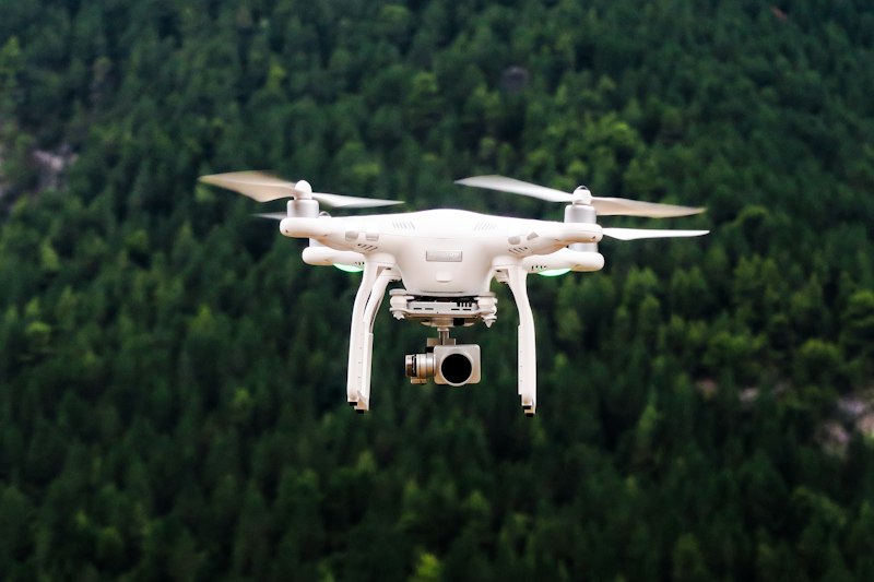
The name of this page says drone photography, but most of the work we do here for New York clients is mapping and surveying. General contractors, land developers, and infrastructure owners hire Xizmo Media’s drone mapping services to turn a single flight over a site into usable engineering data: orthomosaics, 3D models, and volumetric reports delivered in the file formats their engineers already use.
As a drone surveying company operating across the five boroughs and New Jersey, we pair FAA-licensed pilots with survey-grade GNSS equipment, so the maps we deliver hold up against a licensed land surveyor’s stamped drawings.